Prediction and management of the long-term environmental risk of mine waste rock piles via 5G-enabled instrumentation and monitoring
Drs. Wenying Liu (Materials Engineering) and Roger Beckie (Earth, Ocean and Atmospheric Sciences) are the latest recipients of the DSI Postdoctoral Matching Fund for their project "Prediction and management of the long-term environmental risk of mine waste rock piles via 5G-enabled instrumentation and monitoring".
Summary
The main objective of this research is to understand how to best use 5G-enabled wireless sensor networks to monitor key characteristics such as moisture, oxygen content, and temperature of mine waste rock piles, and to use machine learning to predict waste rock drainage properties. Ultimately, this research aims to establish an industry-standard framework for risk assessment and management of mine waste rock pollution using data from 5G-enabled instrumentation and monitoring. Armed with this information, stakeholders can proactively address potential environmental risks before they escalate, preventing potential environmental disasters.
Background
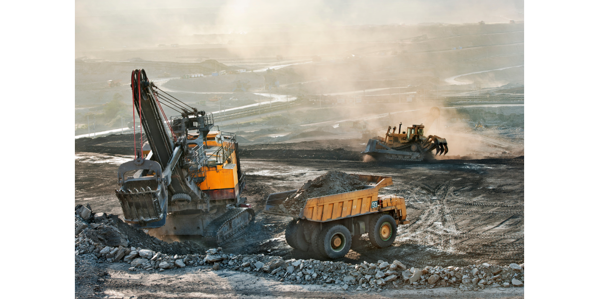
Large quantities of mine waste are generated after valuable metals are extracted. Upon exposure to air and water, a diverse range of metals and metalloids are released and mobilized to the surrounding environment. There is an urgent need to manage the environmental risk posed by mine waste rock piles given the spatial and temporal scale of the problem.
Challenge
The lack of data remains a major hurdle, because waste rock piles are typically not instrumented, and the relevant properties are not continuously monitored. Even though some mine sites may choose to monitor certain parameters, data are often scattered and stored in different formats.
Research Goals
This research will: (1) develop and train machine learning models that correlate waste rock drainage properties with key characteristics of waste rock piles using data from 5G-enabled instrumentation and monitoring; (2) demonstrate the application of the models to waste rock piles at different scales.